About Tsenglap Tribe!

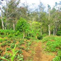
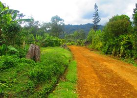
Tsenglap is a Tribe inside North Wahgi Electorate of Jiwaka Province, Papua New Guinea. The Tsenglap territory is bounded by straight lines joining these coordinates: S 05 51 07.01 E 144 41 11.40 to S 05 50 10.04 E 144 37 12.86 and from: S 05 45 32.69 E 144 43 41.39 to S 05 44 28.47 E 144 42 24.02.
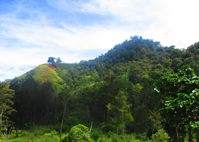
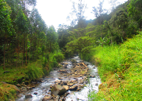
The Tsenglaps share their border with the Dange Tribe to the East and Kumuka Nganz Kapangkup (KNK) Tribe to the West. To the north, the Tsenglap territory extends to the Donumb and Tanglip mountains which form part of the Sepik Wahgi Divide Range. To the south, the boundary extends as far as the Wahgi River. The Tsenglaps neighbours to the south just across the Wahgi River are the Konumbka and Berepka tribes of South Wahgi.


